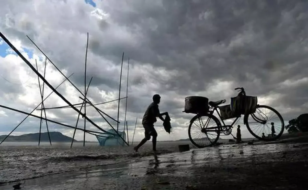
Australia is battening down the hatches as weather authorities warn of a renewed threat of severe weather events due to a strengthening La Niña. This triple-dip La Niña – the third consecutive year of the climate phenomenon – is expected to bring heavy rainfall, flooding, and potential cyclones to various parts of the country.
The Bureau of Meteorology (BOM) recently announced that La Niña conditions have intensified in the Pacific Ocean. Sea surface temperatures are cooler than average, and trade winds have strengthened, signifying a shift towards a wetter-than-usual summer and autumn for eastern and northern Australia.
What to Expect:
- Increased Rainfall: The BOM predicts above-average rainfall for eastern Australia, particularly in Queensland and New South Wales. This raises concerns about flooding, especially in areas already saturated from the wet spring season.
- Cyclone Risk: Warmer ocean temperatures can fuel cyclones, and La Niña conditions are typically associated with an increased risk of cyclones in northern Australia.
- Potential for Storms and Floods: The combination of heavy rainfall and strong winds can lead to damaging storms and flash flooding.

Taking Precautions:
Residents in flood-prone areas are advised to stay updated on weather warnings and prepare emergency kits. Local authorities are urging people to clear gutters and drains, trim trees around their properties, and have a plan in place in case of evacuation.
Looking Ahead:
While La Niña brings the threat of severe weather, it can also have positive impacts. Drier conditions are expected in southern Australia, which could help alleviate drought concerns in some regions. However, the overall impact of La Niña will vary across the country.